Projects
Welcome to explore our research, education and development cooperation project portfolio.

GDA NBSOS-Scale up (2025-2026)
European Space Agency’s Global Development Assistance -funded project to pilot and upscale the NBSOS tool in a selection of 15 cities globally in close cooperation with the development partners and stakeholders in each city. The Global Facility for Disaster Reduction and Recovery’s (GFDRR) Global Program on Nature-Based Solutions for Climate Resilience (GPNBS) has developed a rapid geospatial analysis tool known as the Nature-Based Solutions Opportunity Scan (NBSOS). The purpose of the NBSOS is to initiate discussions about NBSs in cities, highlight potential areas of application, and provide a basis for shaping investment plans.
More about GDA: https://gda.esa.int/
More about NBSOS: https://www.naturebasedsolutions.org/opportunity-scan
Geoportti - Open geospatial Research Infrastructure (2017-)
Geoportti is a digital research infrastructure providing easy access to geospatial data and high-performance computing via CSC’s cloud services. It promotes scientific excellence and innovation by supporting spatial data use and collaboration. Offering 20+ services—including data, computing, visualization, and training—it aids national innovation efforts like the Geospatial Challenge Camp. Geoportti is part of Finland’s National Roadmap for Research Infrastructures (2025–2028) and has been developed with institutional and project funding since the early 2010s.
Project website: https://www.geoportti.fi/
UTU-GreDiT (2024-2028)
Solutions for Green and Digital Transition (UTU-GreDiT), led by the University of Turku (UTU), Finland, is a unique COFUND doctoral training programme designed to develop the next generation of experts capable of driving transformative change toward sustainable societies. The programme equips researchers with the interdisciplinary skills and knowledge needed to operate across sectors at regional, national, and international levels.
Project website: https://sites.utu.fi/utugredit/
Resilience Academy for Green and Smart Cities (ProWAS - SASA) (2024-2026)
The project focuses on improving capacities to use open data, digital tools and local community-youth driven approaches for climate resilient urban development and water management in Tanga and Mwanza cities.
Project website: https://resilienceacademy.ac.tz/
Funding: Deutsche Gesellschaft für Internationale Zusammenarbeit (GIZ)
Shape2gether (2023-2026)
Shape2gether is an Erasmus+ project developing innovative education for sustainable development by combining geosciences, new technologies, and serious games in the context of climate change. It aims to create a new curriculum and support a future Erasmus Mundus Joint Masters programme. Through training events and blended student mobilities, the project promotes engagement, awareness, and action on climate challenges using cutting-edge educational methods.
Project website: https://storymaps.arcgis.com/stories/3be8795551f74f868e5e0ebd5bd3d40e

Location Innovation Hub (LIH) (2023-2025)
The Location Innovation Hub (LIH) is a centre of excellence for location information and technology, offering free coaching for small and medium-sized enterprises and public administrations, providing support in areas like business development, adopting new technologies, and finding funding opportunities. Location Innovation Hub’s work is coordinated by the Finnish Geospatial Research Institute (FGI), and the LIH services are delivered through an extensive network of partners with expertise in the location data and technology. University of Turku (UTU) is one of the members of the LIH network through the LIH project and has a key role in delivering pedagogical expertise with the Geospatial Challenge Camp and other project activities.
Project website: https://locationinnovationhub.eu/
KADI (2023-2025)
Knowledge and climate Services from an African observation and Data research Infrastructure is an interdisciplinary African-European cooperation project designing and piloting comprehensive science-based concepts for atmospheric and climate service infrastructures on the African continent. The University of Turku contributed to several thematic areas within the project, focusing most on the design of research infrastructures for climate services in Africa and an urban climate service pilot in Dar es Salaam, Tanzania.
Project website: https://kadi-project.eu/

FPCUP - WG Africa (2023-2024)
Framework Partnership Agreement for Copernicus User Uptake - Working Group Africa builds meaningful capacities of African experts to respond regional and local challenges with Copernicus services and applications.
Project website: https://www.copernicus-user-uptake.eu/user-uptake/details/copernicus-user-uptake-in-africa-492

GeoICT4e (2020-2024)
Improving management and teaching capacities in the impact-driven and socially innovative geospatial and ICT education in Tanzania, leading to graduates’ better employment. One of the main outcomes of the project is the Multi-Competence Learning (MCL) program. The project consortium consisted of 3 Finnish universities and 5 Tanzanian universities and the whole project was coordinated by UTU.
Project website: https://www.geoict.org/
FAPI pilot for DIDAIhub (2022-2023)
This project focused on consolidating transformative research and education innovations co-developed through the GeoICT4e and Resilience Academy initiatives at University of Turku. In collaboration with partners from Finland, Tanzania, other African and European universities the project established the UTU Geospatial and Digital Technology Hub - DIDAIhub - a platform to coordinate and expand global research and education cooperation around digital social innovations. Key activities include refining and internationalizing training materials and training a team of Finnish and Tanzanian experts. The project lays the foundation for long-term institutional collaboration and enhanced global learning and research service delivery in the fields of digital geospatial data, emerging technologies, and digital society.
Project website: https://didaihub.utu.fi/ & https://fapi.utu.fi/
Resilience Academy for Litterati (2022 and 2023)
Resilience Academy collaborated with Litterati Inc. and Tanzanian city governments to employ citizens and university students to collect geospatial data of litter in Dar es Salaam and Mtwara.
Resilience Academy (2019-2023)
Project website: https://resilienceacademy.ac.tz/
Funding: The World Bank
Leader and partners: UTU with UDSM, ARU, SUA and SUZA

Geospatial and ICT capabilities in Tanzanian Higher Education Institutions (Geo-ICT) (2017-2020)
The Geo-ICT project aimed to enhance the quality and societal relevance of geospatial and ICT research and education in four Tanzanian higher education institutions (HEIs), addressing the growing demand for skilled professionals and practical expertise in these fields. The project focused on strengthening teaching capacities, renewing learning environments, and fostering innovation and entrepreneurship in the geospatial/ICT sector. The University of Turku led the project in collaboration with UDSM, ARU, SUZA, and SUA, contributing to capacity development through staff training, pedagogical improvement, upgrading infrastructure, and building strong stakeholder networks. UTU also supported strategic planning for HEIs’ roles in innovation ecosystems and helped position the institutions as key actors in Tanzania’s sustainable development through GIS/ICT expertise.

Sustainability, scale relations and structure-function-benefit chains in the landscape systems of the Tanzanian Southern Highlands (SUSLAND) (2014-2018)
The project aimed to explore the sustainability and socio-ecological dynamics of land use in Tanzania’s Southern Highlands, focusing on how ecosystem and landscape services are shaped by human-environment interactions at local and regional scales. By applying theories of land transition and socio-ecological systems, the project sought to understand the trade-offs and benefits associated with land use changes driven by poverty, population growth, and resource exploitation. The University of Turku contributed expertise in geospatial analysis, participatory GIS, and remote sensing to support practical research and capacity building among Tanzanian stakeholders. Through collaborative research and training, the project enhanced local capabilities in land monitoring and participatory land use planning, and supported the development of scientifically grounded and socially inclusive natural resource management practices.

Geospatial Business Ecosystem in Tanzania (GESEC) (2016-2018)
The GESEC project aimed to support the development of a geospatial business ecosystem in Tanzania by studying how Finnish geospatial technologies can be adapted to local needs and how digital location-based solutions can enhance decision-making across sectors. The project focused on understanding the role of stakeholder participation in shaping geospatial knowledge and driving innovation in a developing country context. The University of Turku led the action research component in close collaboration with three Finnish tech companies and Tanzanian partners from academia, business, government, and civil society. UTU’s interdisciplinary research teams explored knowledge creation processes and supported the contextualization of hi-tech solutions to ensure their relevance and long-term impact in Tanzania’s socio-economic environment.

National Spatial Data Infrastructure for Integrated Coastal and Marine Planning in Zanzibar (ZAN-SDI) (2016-2018)
The ZAN-SDI project aimed to enhance the use of geospatial information in integrated coastal and marine spatial planning in Zanzibar by strengthening the National Spatial Data Infrastructure (NSDI) and improving local planning capacities. The project supported sustainable spatial management through targeted training and institutional development. The University of Turku contributed by leading geospatial training and capacity-building efforts, in collaboration with the State University of Zanzibar (SUZA). UTU implemented a practical “training-of-trainers” program to build GIS expertise within government institutions, ensuring long-term knowledge transfer and supporting SUZA’s role as a future center of geospatial competence in Zanzibar.

Pre-GESEC (2016)
Pre-GESEC was a six-month preparatory project aimed at laying the foundation for a geospatial business ecosystem supporting location-sensitive decision-making in Tanzania. The project focused on identifying potential pilot projects, mapping stakeholder roles, and exploring innovation opportunities across Finnish and Tanzanian business, research, NGO, and government sectors. The University of Turku coordinated the initiative through its Departments of Geography and Geology and Information Technology, fostering early collaboration with Finnish companies and Tanzanian partners. The project established the groundwork for a larger, innovation-driven BEAM project proposal to further develop geospatial business solutions in emerging markets.

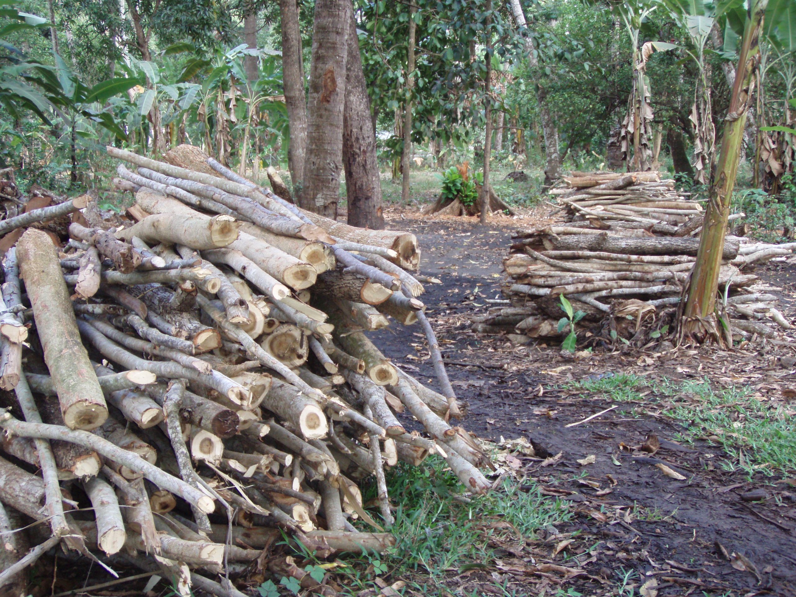
UTU-FAO Forest Plantation Mapping in the Southern Highlands (2016)
This project aimed to map and assess forest plantation cover in Tanzania’s Southern Highlands to support the planning and operations of the Private Forestry Programme funded by the Ministry for Foreign Affairs of Finland. The objective was to establish a reliable baseline of plantation extent, species composition, age, and density to inform sustainable plantation development and harvesting activities. The University of Turku’s Department of Geography led the project in collaboration with the Food and Agriculture Organization (FAO), using Earth Observation methods and FAO’s Open Foris tools. The work combined remote sensing with local expert input to produce spatial data products that enhance forestry decision-making and land use planning in the region.

HEI-GIS capacities in Geography education at the University of Dar es Salaam (2013-2016)
The HEI-GIS project aimed to strengthen teaching, learning, and infrastructure in Geographical Information Systems (GIS) at the University of Dar es Salaam’s Department of Geography. The project addressed the growing need for geospatial expertise to support Tanzania’s capacity to respond to environmental, social, and economic challenges. The University of Turku supported the development of a new MSc programme in GIS, delivered intensive staff training both in Tanzania and Finland, and helped establish a fully equipped GIS teaching laboratory at UDSM. Through stakeholder engagement and institutional collaboration, the project significantly enhanced UDSM’s capacity to educate future GIS professionals and respond to national development needs.

Knowledge Creation Processes (KREPRO) (2012-2016)
The KREPRO research project explored how knowledge is created across diverse fields—academia, arts, business, and communities—by examining the interplay of space and time in these processes. The project focused on understanding how knowledge develops through material, communicative, and cognitive dimensions of space, and linear and relational perceptions of time. Led by the University of Turku’s Department of Geography, KREPRO was funded by the Academy of Finland and other sources. The team conducted research from Lapland to Zanzibar and Svalbard to Berlin, developing and applying innovative, interdisciplinary methods to examine how knowledge creation unfolds in different geographic, cultural, and organizational contexts.

Changing Land Use and Forest Management Practices and Multidimensional Adaptation Strategies in Zanzibar, Tanzania (2010-2013)
This research project examined land use and forest management practices and their socio-economic impacts in Zanzibar, with the goal of developing adaptive, site-specific, and scalable land use alternatives. By analysing spatial and historical land cover changes alongside the values and needs of local stakeholders, the project sought to support more sustainable and equitable forest management. Led by the University of Turku in collaboration with the University of Dar es Salaam and funded by the Academy of Finland, the project combined geoinformation technologies with participatory approaches to produce spatial data, assess ecosystem conditions, and design adaptive management strategies. It also contributed to strengthening the capacity of Zanzibari forest authorities in remote sensing, GIS, and land monitoring to support long-term planning and sustainability.

North-South-North (NSS) staff and student exchange networks coordinated by Åbo Akademi and UTU (2008-2015)
The project aimed to enhance understanding of the interconnections between human rights and sustainable development, promoting multidisciplinary approaches to development across legal, societal, environmental, and spatial contexts. Core activities included teacher and student exchanges, an intensive course, and a dissemination seminar. The University of Turku participated in the consortium of African and Nordic universities by contributing to teaching and coordination, particularly in the intensive course “Human Rights and Governance of Natural Resources” held at the University of Dar es Salaam in 2014. The course and final seminar brought together academic and institutional actors to share knowledge and promote human rights-based perspectives in development practices across the participating countries.

Rural Settlement Development, Land Ownership and Food Security since Ujamaa era in Eastern Tanzania (2008-2010)
The project aimed to study how national policy shifts since the 1960s villagization process affected sustainable land use, livelihoods, settlement patterns, and rural-urban dynamics in eastern Tanzania. University of Turku conducted multidisciplinary research in Bagamoyo and Handeni districts using surveys, interviews, participatory observation, and GIS to analyze changes in land management, local economies, and socio-environmental conditions, providing insights for policy and development planning.
Practical Measures to Tackle Climate Change (2008)
Funding: Ministry for Foreign Affairs of Finland
Leader: UTU Geography
Sustainable Landscapes in Zanzibar (2005-2007)
The project analyzed landscape changes and sustainability on the Zanzibar islands by integrating local knowledge and spatial data to support sustainable land use and natural resource management. University of Turku collaborated with the University of Dar es Salaam and Finnish development cooperation to apply Landscape Change Trajectory Analysis and GIS tools in participatory research. The project mapped land cover dynamics, soil and vegetation conditions, and local livelihoods to inform policy and promote balanced environmental and socio-economic development.

Interaction Between Community, Forest Plantation and Biodiversity (2003-2004)
This research project in Zanzibar evaluated the community and biodiversity impacts of Finnish forestry efforts from 1980 to 1996. Studying four villages, it found that most villagers benefited economically from tree planting, though women had less access to land and seedlings. Land cover changes included increased forest plantations but concerns over sustainable forest maturity under shifting cultivation. Indigenous species showed promise for forest regeneration beneath exotic plantations. The project highlighted the importance of combining local knowledge with GIS and remote sensing for ecosystem management, a view shared by Zanzibar’s environmental officials.