The Post Grid

DIDAIhub: Geometries of geospatial data and basic statistics
Understand the basics of geometric and statistical properties and nature of geospatial data. Learn the...
DIDAIhub: Story mapping
You can build a story map rich with geomedia that reflects relevant aspects of an...

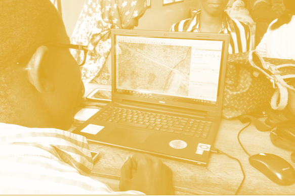
DIDAIhub: Visualization of geospatial data and map making
Create and use maps and visualize geospatial data for dissemination of your work. You are...

DIDAIhub: Working with interactive webmaps
With this learning module, you are able to critically think about the designing and planning...
Resilience Academy: Dynamic flood modelling in 2 dimensions
Learn how to establish a detailed 2-dimensional flood schematisation of a river section in Dar...
Resilience Academy: From flood hazard to flood impact
Learn practical skills to turn a hazard map in a flood impact map within the...
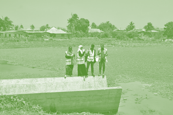
Resilience Academy: Flood zone mapping
Learn hands-on how a digital terrain model and a vector dataset of main streams can...
Resilience Academy: Principles of flood mapping strategies
Understand the concepts of flood hazard mapping, flood exposure mapping, flood vulnerability mapping and flood...

Resilience Academy: Geospatial Data Visualisation Challenge
Learn to apply data visualisation skills via a Data Visualisation Challenge, which is a real-world...