The Post Grid
DIDAIhub: Basic research information of climate change
This Mini-MOOC is relevant information for communicating with local and regional planners of civil servants and...

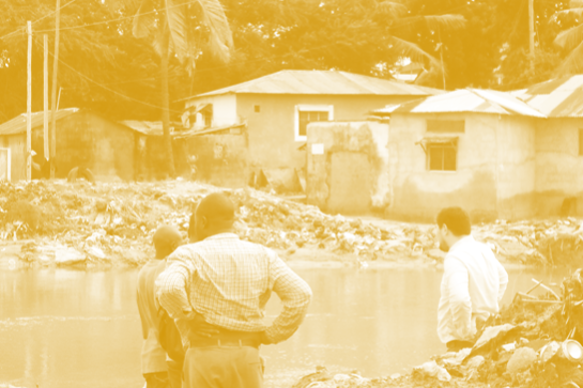
DIDAIhub: Field data collection with QField
The objective of this course is to learn the key elements on research and data...
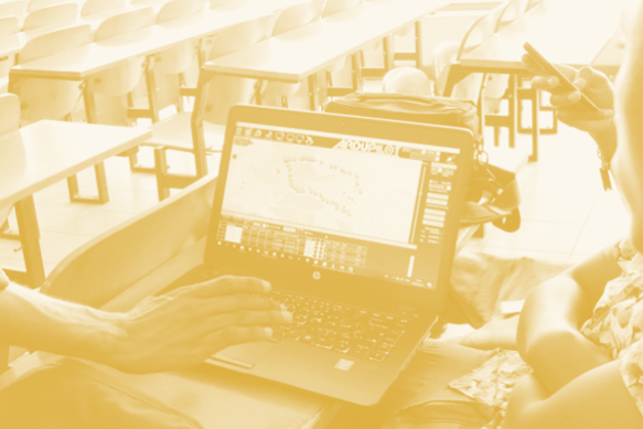
DIDAIhub: Satellite image classification using ML in Google Earth Engine
This course introduces students to the Google Earth Engine (GEE) cloud computing platform, focusing on...
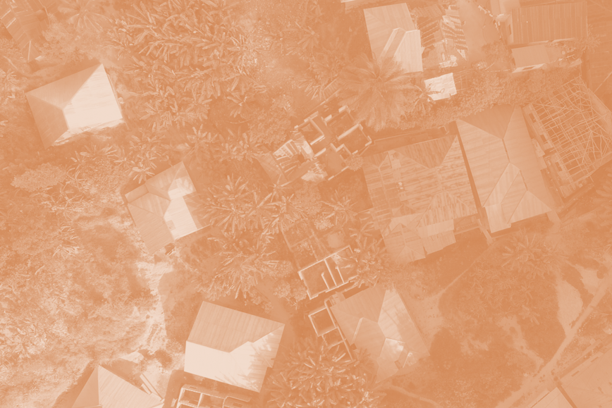
DIDAIhub: Land cover/land use change detection with Google Earth Engine
The goal of this nugget is to introduce you to different methods and techniques for...
DIDAIhub: Citizen Science Data Quality Assessment for Earth Observation
This module introduces students to citizen science data for Earth Observation, focusing on handling crowdsourced...
DIDAIhub: SAR image analysis in GEE
Learning outcomes include understanding SAR remote sensing technology and using Sentinel 1 SAR images for...
DIDAIhub: Processing large raster images in GDAL
This mini-MOOC provides an overview of different phases of the data analysis pipeline using Python...
DIDAIhub: Geospatial data management in postgres/postgis databases
This mini-MOOC focuses on competencies in adding, organizing, querying, retrieving, and combining data, and assessing...
