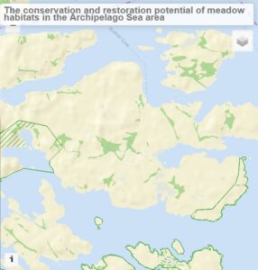
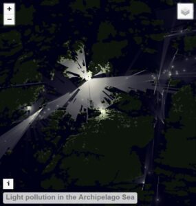
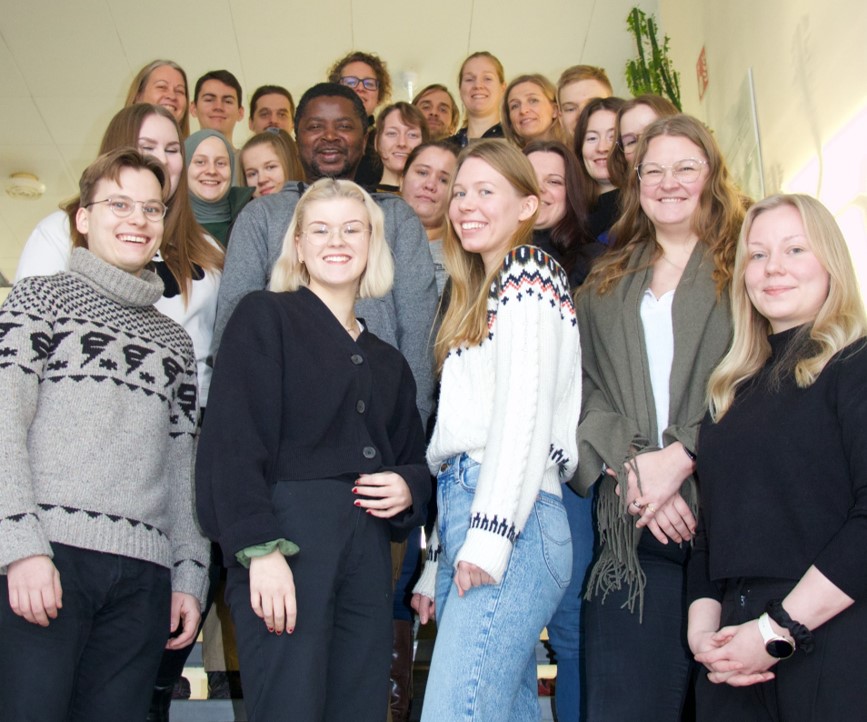
Geovisualisation Challenge is part of Master’s level course “Geospatial data management and visualisation (MAAN7764)” organised annually by the Geography department of University of Turku. In 2022, topics for the challenge were provided by Metsähallitus (the Finnish Forest Administration) and they were related to human-induced pressures in the Archipelago Sea area. Total of 16 students participated in the course and formed four groups to work on their web map based geovisualisation solutions.
After four weeks of group working, a final seminar event was organised on December 5th where the student groups presented their results to the client (Metsähallitus) and a panel of judges from the Geography department staff. Explore the web maps in the UTU Geospatial data service blog.


