- Climate risk management
- Community mapping
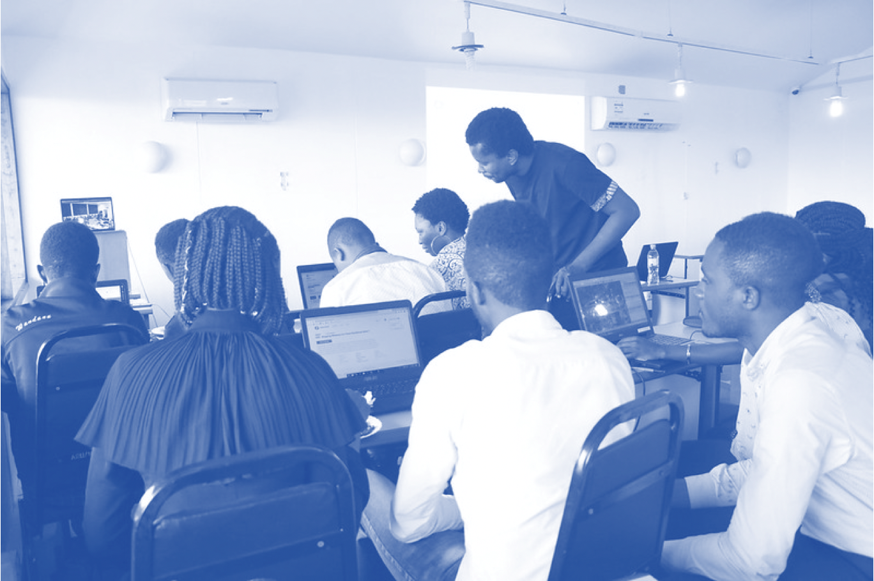
- Data collection
- Events
DIDAIhub: Getting started with QGIS

 Geospatial data management
QGIS is one of the most used desktop software for geospatial data management, analysis and visualisa
DIDAIhub: Field data collection with QField
 Data collection
The objective of this course is to learn the key elements on research and data collection planning.
DIDAIhub: Collect Earth Online (CEO) tool and survey design – basic step
 Remote sensing
Implementing land cover/land use (LCLU) classification based on Earth observation data and ML/AI cla
DIDAIhub: Satellite image classification using ML in Google Earth Engine
Yleinen
This course introduces students to the Google Earth Engine (GEE) cloud computing platform, focusing
DIDAIhub: Land cover/land use change detection with Google Earth Engine
Remote sensing
The goal of this nugget is to introduce you to different methods and techniques for detecting and an
DIDAIhub: Citizen Science Data Quality Assessment for Earth Observation
Remote sensing
This module introduces students to citizen science data for Earth Observation, focusing on handling
DIDAIhub: SAR image analysis in GEE
Remote sensing
Learning outcomes include understanding SAR remote sensing technology and using Sentinel 1 SAR image
DIDAIhub: Processing large raster images in GDAL
Geospatial data management
This mini-MOOC provides an overview of different phases of the data analysis pipeline using Python a
DIDAIhub: Geospatial data management in postgres/postgis databases
Geospatial data management
This mini-MOOC focuses on competencies in adding, organizing, querying, retrieving, and combining da

African Research and Education Day explored new horizons in Finland-Africa partnerships


DIDAIhub: Geometries of geospatial data and basic statistics
Understand the basics of geometric and statistical properties and nature of geospatial data. Learn the skills to operate common analysis...
DIDAIhub: Principles of Open Data
Learn to define the concept of open data, and how to discover and use it as a research resource. Learn...
DIDAIhub: Geospatial data management in postgres/postgis databases
This mini-MOOC focuses on competencies in adding, organizing, querying, retrieving, and combining data, and assessing data consistency with the help...
DIDAIhub: Processing large raster images in GDAL
This mini-MOOC provides an overview of different phases of the data analysis pipeline using Python and its data analysis ecosystem...
DIDAIhub: Getting started with QGIS
QGIS is one of the most used desktop software for geospatial data management, analysis and visualisation. This entity provides the...
Resilience Academy: Geospatial data quality
Learn the principles, hands-on skills and good practices of assessing geospatial data quality, using geospatial data of different origin and...
Resilience Academy: Metadata
Learn principles and practical skills to use metadata standards for good quality geospatial data management. After completing the module, you...
Resilience Academy: Data sharing in Climate Risk Database
Learn principles of Spatial Data Infrastructures (SDIs) and practical skills in using SDIs and sharing your own data via Climate...