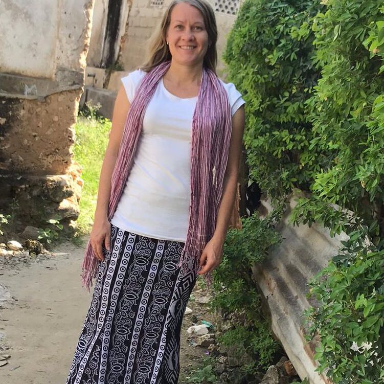
Senior researchers
DIDAIhub community members' research profiles range from landscape ecology to climate adaptation and innovation proccesses. GeoAI, citizen science, community mapping, Machine Learning for image classification and more characterise contemporary research with global impacts. Read more below about research profiles and expertise areas of our senior level researchers.
I work with land use and landscape sustainability solutions, tackling systemic nature-human challenges and climate change impacts in the urban, rural and coastal environments. My methodological expertise is in combined uses of geospatial and other data from multiple sources (EO data, community-based place-based data, historical data, observation data) and turning globally open data and digital tools to socially innovative local solutions through stakeholder engagement and mutual co-creation processes.
Most of my professional activities are in the interface of science and practice and I have strong emphasis on coupling research with skills and competence opportunities and activities, and societal impacts around of established digital solutions. I am currently working in the context of spatial planning, urban resilience, land management and biodiversity/landscape conservation in Europe and Africa. My engagement to development cooperation processes over the decades have made me an advocate of open science, open data and science diplomacy.
Filling in socio-ecological knowledge gaps to support marine spatial planning in data-scarce areas: Example from Zanzibar
Virtanen, E. A., Käyhkö, N., Khamis, Z., Muhammad, M. J., Muumin, H., Habib, M., Karvinen, V., Lappalainen, J., Koskelainen, M., Kulha, N., & Viitasalo, M. (2025). Conservation Science and Practice, 7(1), e13284.
https://doi.org/10.1111/csp2.13284
Automated geovisualization of flood disaster impacts in the global South cities with open geospatial data sets and ICEYE SAR flood data
Nygren, O, Mikel Calle, Gonzales-Inca C, Kasvi E, Käyhkö N (2024). International Journal of Disaster Risk Reduction 103, 104319.
https://doi.org/10.1016/j.ijdrr.2024.104319
Social innovations in Geo-ICT education at Tanzanian universities for improved employability (GeoICT4e)
Käyhkö N, Mbise M, Ngereja Z, Makame MO, Mauya E, Matto G, Timonen-Kallio E, Rancken R (2021). International Archives of the Photogrammetry, Remote Sensing and Spatial Information Sciences, XLVI-4/W2-2021, 83–89, 2021.
https://DOI.ORG/10.5194/ISPRS-ARCHIVES-XLVI-4-W2-2021-83-2021
