Innovative solutions

Multi-Competence Learning (MCL)

Multi-Competence Learning (MCL) Challenge-based learning program where multidisciplinary teams tackle real-world challenges Multi-Competence Learning (MCL) is a challenge-based learning program where multidisciplinary teams tackle real-life challenges provided by external partners. Industry reps and experts help students gain insights, while mentoring ensures innovative solutions. The program broadens student thinking and know-how in geographical and sustainable development, […]

Multi-Competence Learning (MCL) Read More »
Students’ industrial placement for data collection

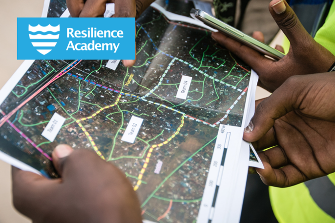
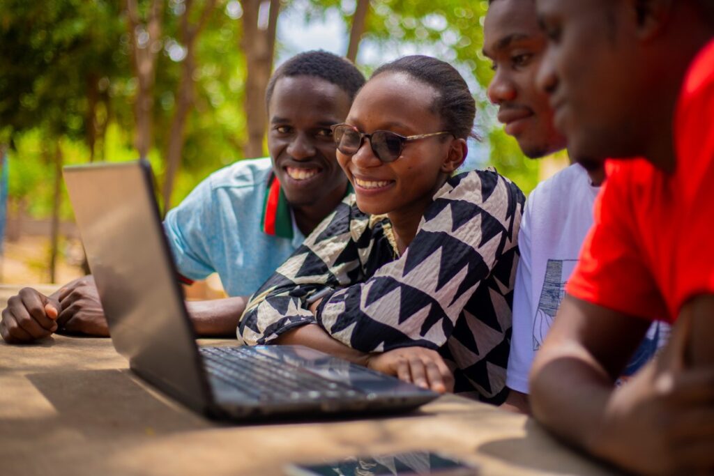
Students’ industrial placement for data collection Industry-led digital data collection and management campaigns Tanzania – need for geospatial data for climate resilience Tanzania is suffering from a severe lack of up-to-date digital geospatial data depicting critical land and marine assets, such as buildings, roads, services, waterways, land uses, biodiversity etc. Cities are rapidly changing and

Students’ industrial placement for data collection Read More »

Geovisualisation Challenge

Geovisualisation Challenge Innovative way to learn the power of maps and geovisualisation with real-world challenges Geovisualisation Challenge for higher-education level students is a fun and innovative way to learn the power of maps and visualisation of geospatial data that could bring solutions to challenges faced in their living surroundings and communities. Challenge theme that is

Geovisualisation Challenge Read More »

Data party

Data party Community event for curating and sharing geospatial datasets Data party is a collaborative and often informal event where participants come together to curate, manage, visualise and share geospatial datasets openly available. Data parties can gather a diverse community from higher-education students, staff, industrial actors and citizens to work together toward transparent, accessible and

Data party Read More »

Geospatial Challenge Camp

Geospatial Challenge Camp (GCC) Challenge-based course for tackling real-world challenges in cross-disciplinary teams The Geospatial Challenge Camp is a skills development and innovation service of Geoportti Research Infrastructure and Location Innovation Hub (LIH), which is one of the European Digital Innovation Hubs. The Geospatial Challenge Camp is a 10-week long challenge-based course (5 ECTS) that

Geospatial Challenge Camp Read More »

Climate Risk Database

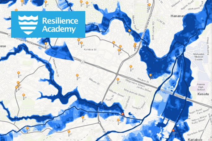
Climate Risk Database Catalyst for resilient urban development in Tanzania Tanzania Recilience Academy’s Climate Risk Database (CRD) is a geospatial data repository that supports research, education and urban planning, such as disaster-risk management practices. The rich repository of datasets consists of open-access data from Resilience Academy industrial placement, Tanzania Urban Resilience Program projects, and third

Climate Risk Database Read More »

Tanzania Resilience Academy

Tanzania Resilience Academy Equipping young people with the tools, knowledge, and skills to address the world’s most pressing urban challenges Tanzania Resilience Academy equips young people with the tools, knowledge, and skills to address the world’s most pressing urban challenges and ensure resilient urban development. Resilience Academy began as an initiative of Tanzania Urban Resilience

Tanzania Resilience Academy Read More »

Earth Observation hackathon

Earth Observation hackathon Cookbook for organising innovation competitions and hackathons by leveraging Earth Observation data and resources The Earth Observation hackathon cookbook is a practical guide developed by the BalticSatApps project to assist organizations in planning and executing innovation events, such as hackathons, that focus on Earth Observation (EO) data. It outlines a step-by-step approach

Earth Observation hackathon Read More »