Project duration: 2023 - 2025
Coordinator: Finnish Geospatial Research Institute (FGI)
Partners: https://locationinnovationhub.eu/en/partners/
Funding: European Digital Innovation Hub (EDIH)
Project website: https://locationinnovationhub.eu/en/home/
Location Innovation Hub (LIH)
The Location Innovation Hub (LIH) is a centre of excellence for location information and technology, offering free coaching for small and medium-sized enterprises and public administrations, providing support in areas like business development, adopting new technologies, and finding funding opportunities. Location Innovation Hub’s work is coordinated by the Finnish Geospatial Research Institute (FGI), and the LIH services are delivered through an extensive network of partners with expertise in the location data and technology. University of Turku (UTU) is one of the members of the LIH network through the LIH project and has a key role in delivering pedagogical expertise with the Geospatial Challenge Camp and other project activities.
LIH Project Activities at UTU
Geospatial Challenge Camp (GCC)
Geospatial Challenge Camp (GCC) is a challenge-based course that aims at engaging young scientists and students to solve real-world sustainability challenges with digital data and location technologies. The course is a skills development and innovation service of Geoportti Research Infrastructure and Location Innovation Hub, organized together with UTU, Aalto University and CSC - IT Center for Science.
GCC is a 10 to 12-week long challenge-based course (5 ECTS) that aims to provide participants a chance to tackle relevant real-world challenges in cross-disciplinary teams. GCC has been organized by Geoportti RI, LIH, UTU, Aalto and CSC during 2023 and 2025 with an overall theme of Health and Well-Being. The participants are doctoral and post-doctoral researchers and master students from Finnish universities and research organizations.
During the camp, the multi-disciplinary teams of young scientists work in close collaboration with industry to co-create digital innovative solutions for solving societal challenges. Teams identify and analyse complex location and time related phenomena, and then design and build digital impact-driven solutions, which would improve the current know-how and capabilities of managing these problems in the society. The teams work actively with their peers, mentors and stakeholders during the course, and focus on designing geospatial data and digital technology solutions, which could have sustainability impacts for the users of the solution and for the society at large.
Visit GCC webpages: https://challenge-camp.geoportti.fi/en/latest/index.html
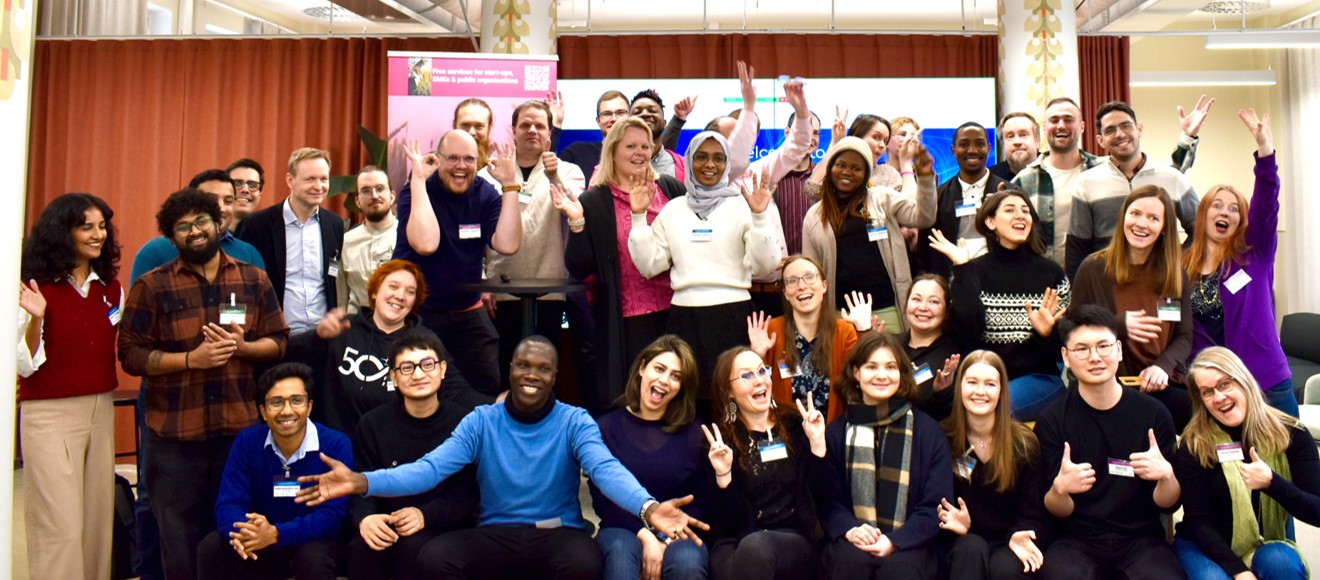
Webinar Series “Unlocking Growth in Africa - Geospatial & Tech Business Opportunities in Emerging Markets”
This webinar series is building on the long cooperation that UTU has had in the Global South, namely in Tanzania. We wanted to create a webinar series that would address the rapidly growing African and Sub-Saharan geospatial market that presents exciting new opportunities for Finnish and Nordic SMEs. This webinar series exemplifies how emerging markets are integrating advanced geospatial data, Earth observation, and AI to tackle critical challenges in agriculture, urban planning, disaster resilience, and more.
The webinar series is planned to equip one with the knowledge and connections needed to tap into this dynamic growing region. Additionally, the series hopes to empower SMEs by demystifying the dynamics of the geospatial business ecosystem in the Global South.You can learn about real-world use cases, understand the local business environment, and discover how to partner with local actors, NGOs, and funders. Understanding the nuances of the local socio-cultural frameworks, and how to navigate the innovation and business ecosystems effectively are crucial factors when entering a new market.
This webinar series will help SMEs navigate the geospatial business landscape in the emerging markets by providing:
- Insights into local market dynamics and funding opportunities
- Real-world examples of geospatial data and technology applications
- Practical guidance on cultural and business frameworks for successful collaboration
Webinar session speakers and titles
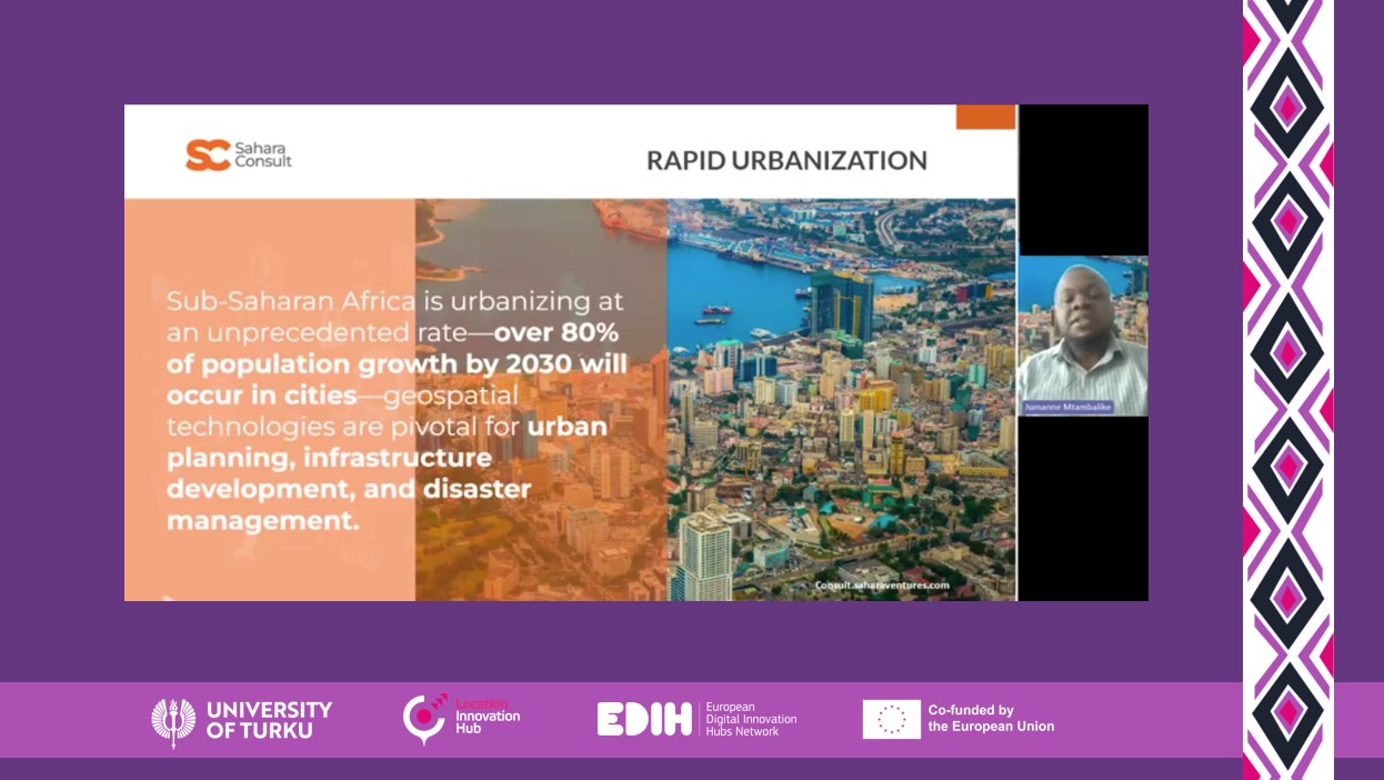
- Session 1: Jumanne Mtambalike, Sahara Ventures - “Geospatial Opportunities - Navigating Collaboration Between Europe and Africa”
- Session 2: Edward Anderson, World Bank - “Geospatial Tech Innovations and Opportunities - Climate and Disaster Risk Management in Sub-Saharan Africa” and Alex Chunet, European Space Agency - “ESA Earth Observation in Africa”
- Session 3: Pierre Jallow, Remode - “Unlocking Growth in Africa - Geospatial & Tech Business Opportunities in Emerging Markets”
- Session 4: Takura Matswetu, Business Helsinki - “Situational Awareness & The Practicalities of Doing Business in Southern Africa” and Kiira Kärkkäinen, Business Finland - “Developing Markets Platform - Towards Sustainable and Competitive Innovations with a Complementary Funding Model”
- Session 5: Ephraim Danford, Techno Environment Investment Company - “How Geospatial Data & Drones are Redefining Urban Development In Africa” and Tuomo Kauranne, Arbonaut - “Business in Africa - Arbonaut Examples"
Borrow a Researcher
Borrow a Researcher is a service package of LIH that offers a platform for companies/industry and researchers to exchange ideas and share expertise. LIH offers businesses and public sector organizations the opportunity to connect with the best researchers in the field. UTU is a partner in the Borrow a Researcher service and thus our researchers in different geospatial and geo-thematic topics of expertise are a part of the service provision.
Read more about "Borrow a Researcher" on LIH webpage: https://locationinnovationhub.eu/en/borrow-a-researcher/
