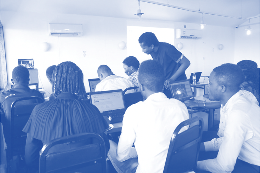
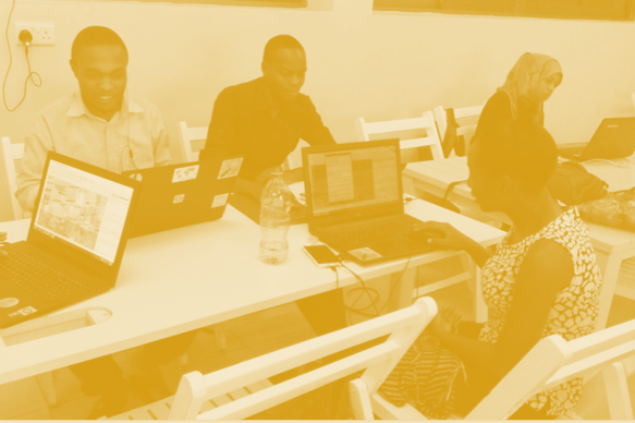
Learning resources
DIDAIhub provides and collects learning resources that have been developed in collaboration with our partners. Learning resources are packed in mini-MOOCs, which are compact learning entities with variety of lectures, hands-on practicals and quizzes.
All DIDAIhub and Resilience Academy learning resources are available in Digicampus - a shared learning environment on universities. Our learning resources are free and accessible for anyone via registration to Digicampus. You may register and log in to Digicampus with Finnish university account or Gmail.
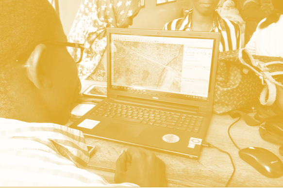
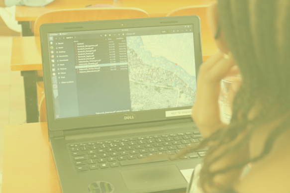
Geospatial data management

DIDAIhub: Principles of Open Data
Learn to define the concept of open data, and how to discover and use it as a research resource. Learn...

DIDAIhub: Geospatial data management in postgres/postgis databases
This mini-MOOC focuses on competencies in adding, organizing, querying, retrieving, and combining data, and assessing data consistency with the help...
DIDAIhub: Processing large raster images in GDAL
This mini-MOOC provides an overview of different phases of the data analysis pipeline using Python and its data analysis ecosystem...
DIDAIhub: Getting started with QGIS
QGIS is one of the most used desktop software for geospatial data management, analysis and visualisation. This entity provides the...
Resilience Academy: Geospatial data quality
Learn the principles, hands-on skills and good practices of assessing geospatial data quality, using geospatial data of different origin and...
Resilience Academy: Metadata
Learn principles and practical skills to use metadata standards for good quality geospatial data management. After completing the module, you...
Resilience Academy: Data sharing in Climate Risk Database
Learn principles of Spatial Data Infrastructures (SDIs) and practical skills in using SDIs and sharing your own data via Climate...
DIDAIhub: Geometries of geospatial data and basic statistics
Understand the basics of geometric and statistical properties and nature of geospatial data. Learn the skills to operate common analysis...
Geovisualisation
DIDAIhub: Visualization of geospatial data and map making
Create and use maps and visualize geospatial data for dissemination of your work. You are able to evaluate the quality...
DIDAIhub: Story mapping
You can build a story map rich with geomedia that reflects relevant aspects of an area (history, natural/cultural processes, sustainability...
Resilience Academy: Geovisualisation principles and examples
Learn the principles of geospatial data visualization and what elements form a good data visualization solution...
Resilience Academy: Geovisualisation tools
Learn what geospatial datasets and open-source tools can be used to make geovisualisations and digital maps. Know how to use...
Resilience Academy: Geospatial Data Visualisation Challenge
Learn to apply data visualisation skills via a Data Visualisation Challenge, which is a real-world need-based competition, targeted to make...
DIDAIhub: Working with interactive webmaps
With this learning module, you are able to critically think about the designing and planning of interactive web maps. You...
Climate, environment and sustainability
Resilience Academy: Climate system
Basics of the climate system and its key processes at the planetary level and in East-Africa. You will also understand...
Resilience Academy: Climate change
Principles of climate change, the major events in climate history and the key natural factors behind climatic variations...
Resilience Academy: Humans as drivers of climate change
Principles of anthropogenic climate forcing, the current drivers and processes of climate warming and its regional variation, plus the concepts...
Resilience Academy: Urban climatology
Principles of regional and urban climates, the mechanics of UHI, and know how to observe urban weather phenomena. You will...
DIDAIhub: Basic research information of climate change
This Mini-MOOC is relevant information for communicating with local and regional planners of civil servants and the general public as well...
DIDAIhub: Sustainable development
The student is able to comprehend information about sustainable development and has the ability to apply the concepts of sustainable development for...
DIDAIhub: Ecosystem services
By the end of this mini MOOC, student will understand the concept, value, and social and environmental significance of ecosystem...
Resilience Academy: Principles of flood mapping strategies
Understand the concepts of flood hazard mapping, flood exposure mapping, flood vulnerability mapping and flood impact. Furthermore, an overview of...
Resilience Academy: Flood zone mapping
Learn hands-on how a digital terrain model and a vector dataset of main streams can be used to make flood...
Resilience Academy: From flood hazard to flood impact
Learn practical skills to turn a hazard map in a flood impact map within the already known QGIS interface. Consolidate...
Resilience Academy: Dynamic flood modelling in 2 dimensions
Learn how to establish a detailed 2-dimensional flood schematisation of a river section in Dar es Salaam within a Graphical...
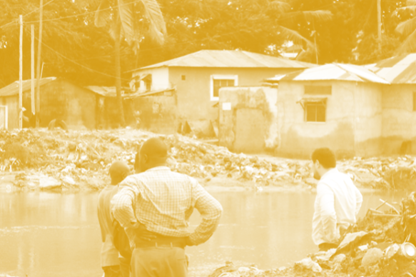
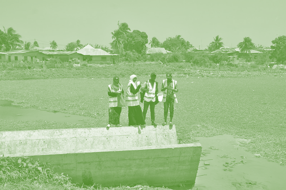
Community mapping
Resilience Academy: Introduction to participatory mapping
You will learn the concepts and different participatory mapping tools and methods, which are applicable to local-level community participation, and...
Resilience Academy: Participatory mapping process
You will learn the elements crucial for planning a participatory data collection campaign...
Resilience Academy: Spatial analysis of PM data
Learn the principles of the analysis of geospatial data collected via participatory mapping...

Community Urban Risk Mapping
On the basis of the practical lessons learned from Dar Ramani Huria this online course has been established. It includes...
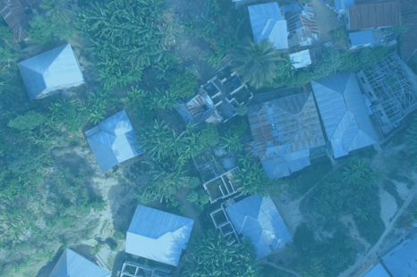
EO and remote sensing
DIDAIhub: Citizen Science Data Quality Assessment for Earth Observation
This module introduces students to citizen science data for Earth Observation, focusing on handling crowdsourced land cover and land use...
DIDAIhub: Land cover/land use change detection with Google Earth Engine
The goal of this nugget is to introduce you to different methods and techniques for detecting and analysing LCLU changes...
DIDAIhub: Collect Earth Online (CEO) tool and survey design – basic step
Implementing land cover/land use (LCLU) classification based on Earth observation data and ML/AI classifiers needs a substantial amount of LCLU...

Resilience Academy: Multispectral satellite images in environmental remote sensing
Key concepts of environmental remote sensing and practical understanding of the importance of Earth observation in the identification, mapping, monitoring...
Resilience Academy: Basic image processing methods with SNAP
Key steps of managing the data using the Sentinel Application Platform (SNAP) this includes installation of SNAP, use of different...
Resilience Academy: Classifying Sentinel 2 images in SNAP
Classify multispectral satellite images available in different platforms and download and manage the data sets using different open-source tools. You...
DIDAIhub: SAR image analysis in GEE
Learning outcomes include understanding SAR remote sensing technology and using Sentinel 1 SAR images for built-up area mapping...
Field data collection

DIDAIhub: Location data collection using mobile devices
This learning module introduces different location data collection methods using smartphone GPS. This is especially interesting and important since they...
DIDAIhub: Field data collection with QField
The objective of this course is to learn the key elements on research and data collection planning. You will be...
Digital skills
DIDAIhub: Cloud Computing
This course aims to enhance participants’ competencies in understanding cloud computing fundamentals, navigating major cloud providers, cloud storage management, ensuring...
DIDAIhub: Introduction to AI
Introduction to AI offers a comprehensive journey into the world of AI, starting from its foundational concepts to its practical...

Resilience Academy: Introduction to Ubuntu Linux
Learn an overview of the following knowledge areas: Ubuntu Linux, learning the Shell and writing Shell Scripts, Office Suite on...
Resilience Academy: Installation of Geonode system
Learn to install Geonode on your computer via several techniques including docker. You are also able to identify the basic...
Resilience Academy: Using Geonode system
Acquire knowledge on editing basic account information in Geonode platform, work with various document types such as layers and maps...
Resilience Academy: Geonode customisation and Source Code revision control
Build an understanding of administering Geonode on the front end of the application. You should be able to interact with...