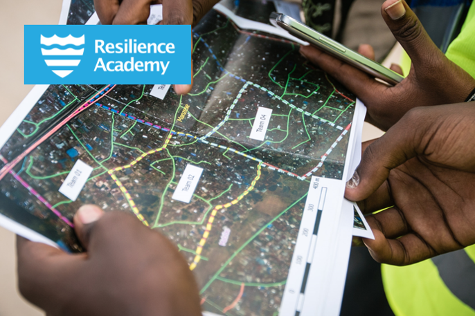
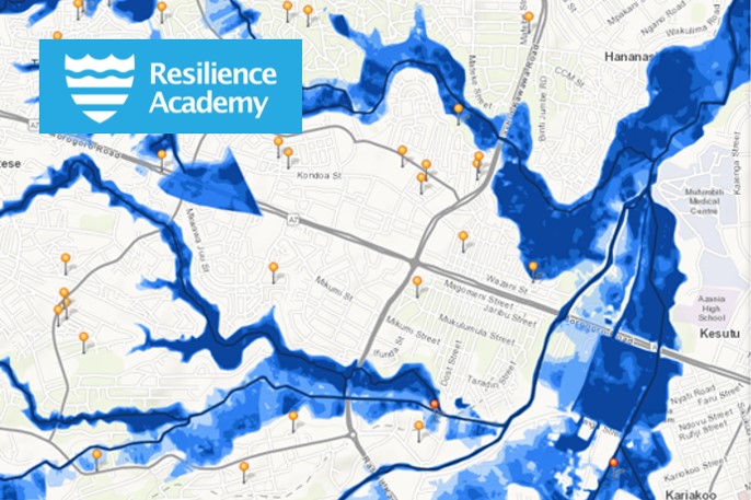
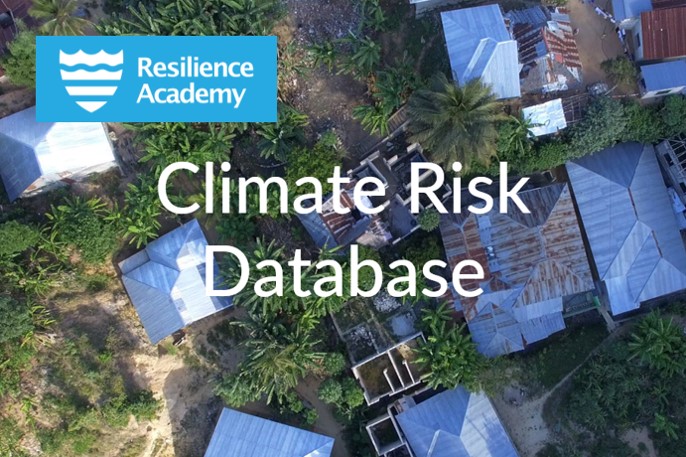
Tanzania Resilience Academy

Students’ industrial placement for data collection

Students’ industrial placement for data collection Industry-led digital data collection and management campaigns Tanzania – need for geospatial data for climate resilience Tanzania is suffering from a severe lack of up-to-date digital geospatial data depicting critical land and marine assets, such as buildings, roads, services, waterways, land uses, biodiversity etc. Cities are rapidly changing and

Students’ industrial placement for data collection Read More »

Geovisualisation Challenge

Geovisualisation Challenge Innovative way to learn the power of maps and geovisualisation with real-world challenges Geovisualisation Challenge for higher-education level students is a fun and innovative way to learn the power of maps and visualisation of geospatial data that could bring solutions to challenges faced in their living surroundings and communities. Challenge theme that is

Geovisualisation Challenge Read More »

Climate Risk Database

Climate Risk Database Catalyst for resilient urban development in Tanzania Tanzania Recilience Academy’s Climate Risk Database (CRD) is a geospatial data repository that supports research, education and urban planning, such as disaster-risk management practices. The rich repository of datasets consists of open-access data from Resilience Academy industrial placement, Tanzania Urban Resilience Program projects, and third

Climate Risk Database Read More »

Tanzania Resilience Academy

Tanzania Resilience Academy Equipping young people with the tools, knowledge, and skills to address the world’s most pressing urban challenges Tanzania Resilience Academy equips young people with the tools, knowledge, and skills to address the world’s most pressing urban challenges and ensure resilient urban development. Resilience Academy began as an initiative of Tanzania Urban Resilience

Tanzania Resilience Academy Read More »