Innovative solutions
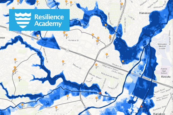
Tanzania Resilience Academy
The Resilience Academy aims to equip young people with the tools, knowledge, and skills to address the world’s most pressing urban challenges and ensure resilient urban development.
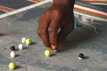
Participatory village land use planning
Research-based knowledge for participatory approaches in village land use planning that utilise spatial tools for informed planning practices in the Global South.
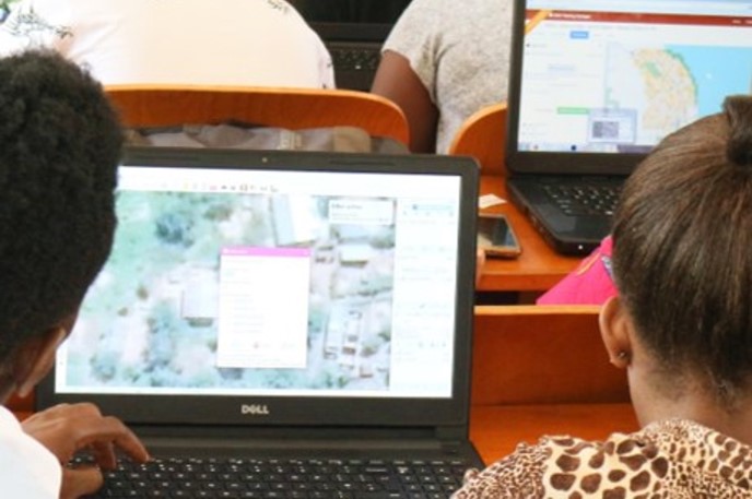
Data party
Data party is a community event where students, researchers and other geospatial data community members gather together to curate and share datasets openly available. Snacks, music, and good company!
Learning campaigns
Multi-Competence Learning (MCL)
Multi-Competence Learning (MCL) is a challenge-based learning program where multidisciplinary teams tackle real-life challenges provided by external partners. Browse our MCL content and organise the campaign!
Geovisualisation Challenge
Geovisualisation Challenge brings opportunities for students to learn geovisualisation with real-world cases to solve challenges in the societies. Organise as a standalone event, or as part of higher-education level courses.
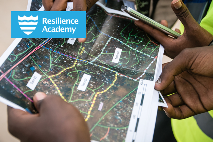
Students' industrial placement for data collection
Industrial palcement model that improves higher-education level students' digital skills, competences and employment via critical geospatial data collection campaigns.
Geospatial Challenge Camp
Geospatial Challenge Camp is a new skills development and innovation service. 10-week long challenge-based course aims to provide participants a chance to tackle relevant real-world challenges in cross-disciplinary teams.

Earth Observation hackathon
Eath Observation hackathons are innovative competitions for higher-education level students. The hackathon aims for solving real-world problems and creating new solutions for informed decision making utilising EO resources.

Mapathon
Mapathons as learning opportunities for high-school level students. The Mapathons are organised as collaboration between high schools and university students at the Department of Geography and Geology in UTU.
Geospatial data repositories
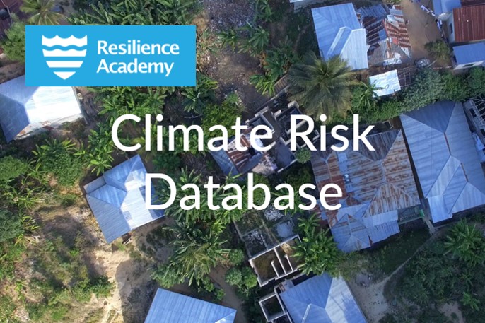
Climate Risk Database
Openly shared geospatial data from all around Tanzania. Basic infrastructure data, climate risk data, and environment related data for exploring, downloading and further usage. Register and join the community!
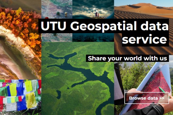
UTU Geospatial data service
UTU Geospatial data service is part of the University of Turku data infrastructure. It provides an open repository for geospatial research data sharing by researchers and students.