DIDAIhub: Story mapping
You can build a story map rich with geomedia that reflects relevant aspects of an area (history, natural/cultural processes, sustainability […]
DIDAIhub: Story mapping Read More »
You can build a story map rich with geomedia that reflects relevant aspects of an area (history, natural/cultural processes, sustainability […]
DIDAIhub: Story mapping Read More »
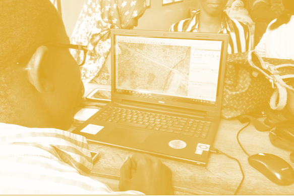
Create and use maps and visualize geospatial data for dissemination of your work. You are able to evaluate the quality
DIDAIhub: Visualization of geospatial data and map making Read More »
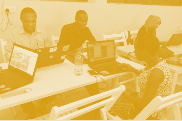
With this learning module, you are able to critically think about the designing and planning of interactive web maps. You
DIDAIhub: Working with interactive webmaps Read More »
Learn to apply data visualisation skills via a Data Visualisation Challenge, which is a real-world need-based competition, targeted to make
Resilience Academy: Geospatial Data Visualisation Challenge Read More »
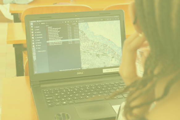
Learn what geospatial datasets and open-source tools can be used to make geovisualisations and digital maps. Know how to use
Resilience Academy: Geovisualisation tools Read More »
Learn the principles of geospatial data visualization and what elements form a good data visualization solution.
Resilience Academy: Geovisualisation principles and examples Read More »