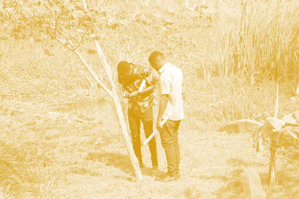
Resilience Academy: Participatory mapping process
You will learn the elements crucial for planning a participatory data collection campaign.
Resilience Academy: Participatory mapping process Read More »
You will learn the elements crucial for planning a participatory data collection campaign.
Resilience Academy: Participatory mapping process Read More »
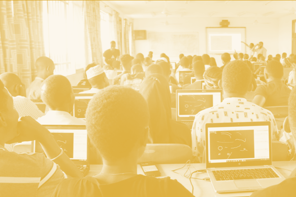
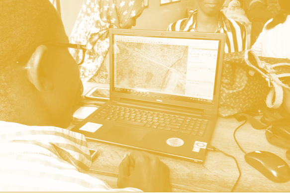
You will learn the concepts and different participatory mapping tools and methods, which are applicable to local-level community participation, and which can facilitate land use planning processes. After completing, you are familiar with the key terms and concepts of PGIS/PPGIS and you have an overall idea of different tools available to collect geospatial community data.
Resilience Academy: Introduction to participatory mapping Read More »
Principles of regional and urban climates, the mechanics of UHI, and know how to observe urban weather phenomena. You will learn modelling a continuous urban temperature with the aid of remotely sensed data and in-situ observations.
Resilience Academy: Urban climatology Read More »
Principles of anthropogenic climate forcing, the current drivers and processes of climate warming and its regional variation, plus the concepts of planetary boundaries, tipping elements and doughnut economy. Furthermore, you will learn how the various anthropogenic decisions and actions materialise as forcing factors contributing to climate change.
Resilience Academy: Humans as drivers of climate change Read More »
Principles of climate change, the major events in climate history and the key natural factors behind climatic variations.
Resilience Academy: Climate change Read More »
Basics of the climate system and its key processes at the planetary level and in East-Africa. You will also understand the principles of climate classification and its representations.
Resilience Academy: Climate system Read More »
Learn to define the concept of open data, and how to discover and use it as a research resource. Learn about about terms and conditions of accessing and using open data,as well as practical measures which help to decide whether to share data openly or not, and what part of it could be shared openly.
DIDAIhub: Principles of Open Data Read More »

This learning module introduces different location data collection methods using smartphone GPS. This is especially interesting and important since they amount of people owning a smartphone nowadays is increasing as we speak.
DIDAIhub: Location data collection using mobile devices Read More »
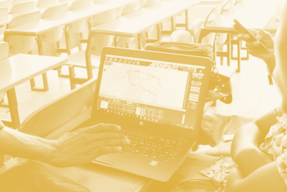
Understand the basics of geometric and statistical properties and nature of geospatial data. Learn the skills to operate common analysis of geometric properties and basic statistics in QGIS. Gain deeper understanding on the nature and possibilities & limitation of geospatial data.
DIDAIhub: Geometries of geospatial data and basic statistics Read More »
You can build a story map rich with geomedia that reflects relevant aspects of an area (history, natural/cultural processes, sustainability issues, plans etc.).
DIDAIhub: Story mapping Read More »