Resilience Academy: Installation of Geonode system
Learn to install Geonode on your computer via several techniques including docker. You are also able to identify the basic […]
Resilience Academy: Installation of Geonode system Read More »
Learn to install Geonode on your computer via several techniques including docker. You are also able to identify the basic […]
Resilience Academy: Installation of Geonode system Read More »
Learn an overview of the following knowledge areas: Ubuntu Linux, learning the Shell and writing Shell Scripts, Office Suite on
Resilience Academy: Introduction to Ubuntu Linux Read More »

DIDAIhub’s first community meeting at the UTU Geography department coffee room, June 1st 2023 @15:00. We are starting a series
DIDAIhub community meeting Read More »
The World Bank funded project Tanzanian Resilience Academy came to an end in January 2023. For continuing the valuable activities
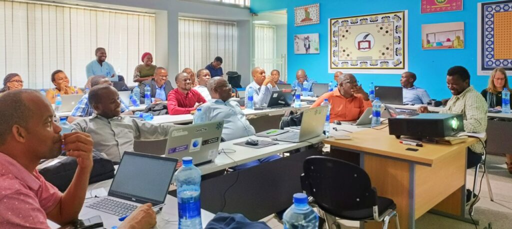
Resilience Academy leadership training Read More »
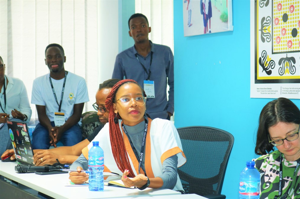
State of the Map Tanzania (SoTM) is an event that gathers together people from NGOs, academia, businesses, public organisations and
State of the Map Tanzania (SoTM) Read More »

Geovisualisation Challenge is part of Master’s level course “Geospatial data management and visualisation (MAAN7764)” organised annually by the Geography department
UTU Geovisualisation Challenge 2022 final seminar Read More »