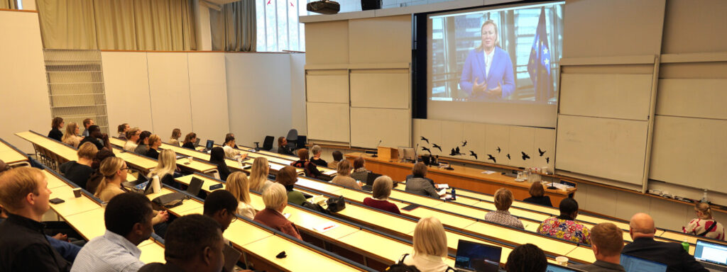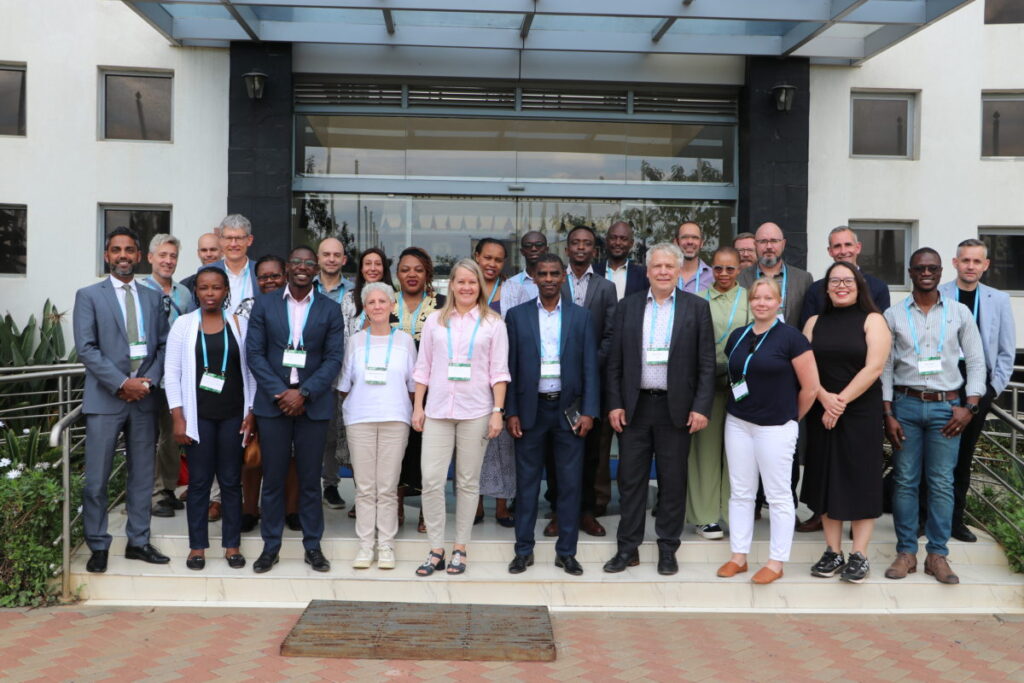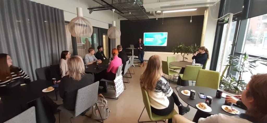
Shaping Together in Finland – Sharing the Shape2Gether Experiences in Turku
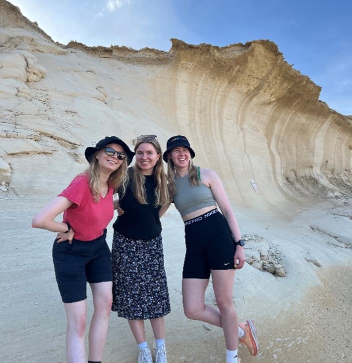
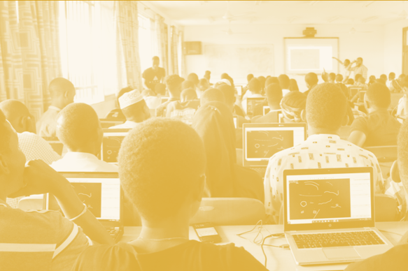
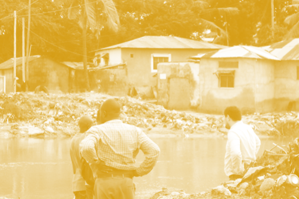
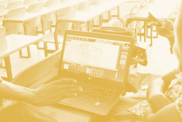
The Shape2gether -project is about shaping innovations in education for sustainable development: contextualizing geosciences, new technologies, and serious games with […]
Shaping Together in Finland – Sharing the Shape2Gether Experiences in Turku Read More »