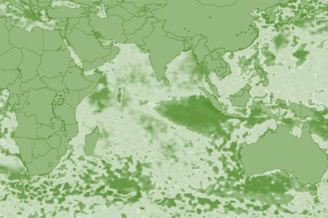
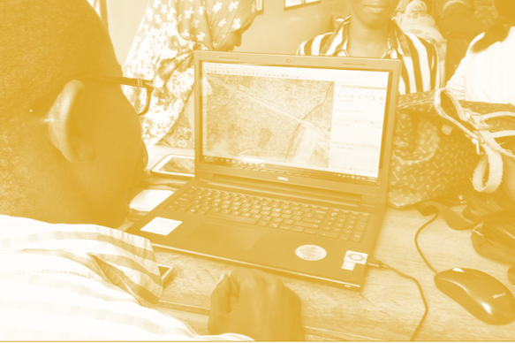
February 2024

Resilience Academy: Multispectral satellite images in environmental remote sensing

Key concepts of environmental remote sensing and practical understanding of the importance of Earth observation in the identification, mapping, monitoring, analysis and modelling of our planet. After the completion of the tasks, you are able to argue for the significance of remote sensing in Earth observation, and you have gained practical skills in searching, exploring

Resilience Academy: Multispectral satellite images in environmental remote sensing Read More »

Resilience Academy: Introduction to participatory mapping

You will learn the concepts and different participatory mapping tools and methods, which are applicable to local-level community participation, and which can facilitate land use planning processes. After completing, you are familiar with the key terms and concepts of PGIS/PPGIS and you have an overall idea of different tools available to collect geospatial community data.

Resilience Academy: Introduction to participatory mapping Read More »

Resilience Academy: Humans as drivers of climate change

Principles of anthropogenic climate forcing, the current drivers and processes of climate warming and its regional variation, plus the concepts of planetary boundaries, tipping elements and doughnut economy. Furthermore, you will learn how the various anthropogenic decisions and actions materialise as forcing factors contributing to climate change.

Resilience Academy: Humans as drivers of climate change Read More »